GIS for Public Use
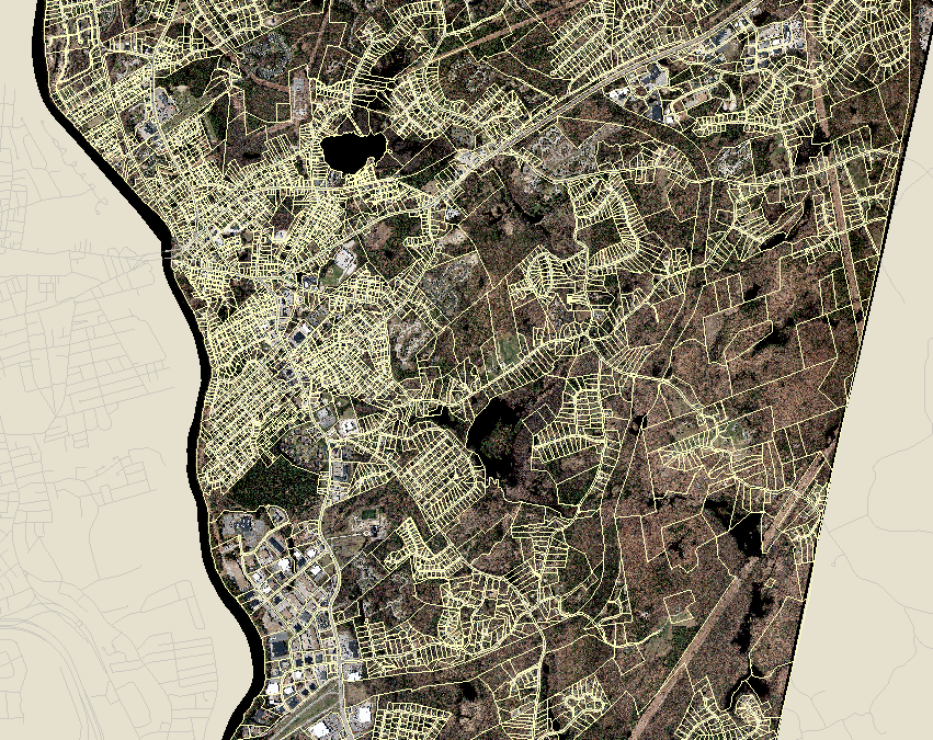
Click here to access the Hudson Geographical Information System (GIS)
GIS Information and Disclaimer
The Town of Hudson makes no warranty, representation, or guarantee as to the content, sequence, accuracy, timeliness, or completeness of any of the information provided herein.
Maps and information made available here are neither intended nor suitable to be used as legal, engineering, or surveying purposes.
Do not make any decisions based solely on the data presented.
The Town of Hudson assumes no liability for any damages or claims that arise out of the user's access to or use of the data provided. Any use of the information, therefore, is the sole responsibility of the user.
The Town of Hudson, NH is providing its mapping system for informational purposes only. ***
Getting Started with GIS
Use the Plus/Minus buttons on the left-hand side or the wheel of your mouse to zoom in and out.
- To return to the default position on the map click the globe button Click and hold the mouse button to drag the map around.
- When using the search window, streets and last names must be spelled exactly as they appear in the database.
- If a search is not successful, try typing less. For instance, “Lowell” instead of “Lowell Rd”.
GIS Tutorials
For a brief overview on how to use the application, please see the GIS Tutorial link below to open the help guide.